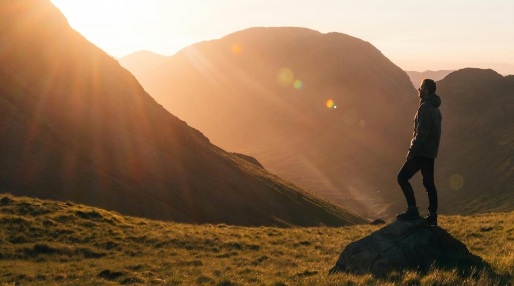
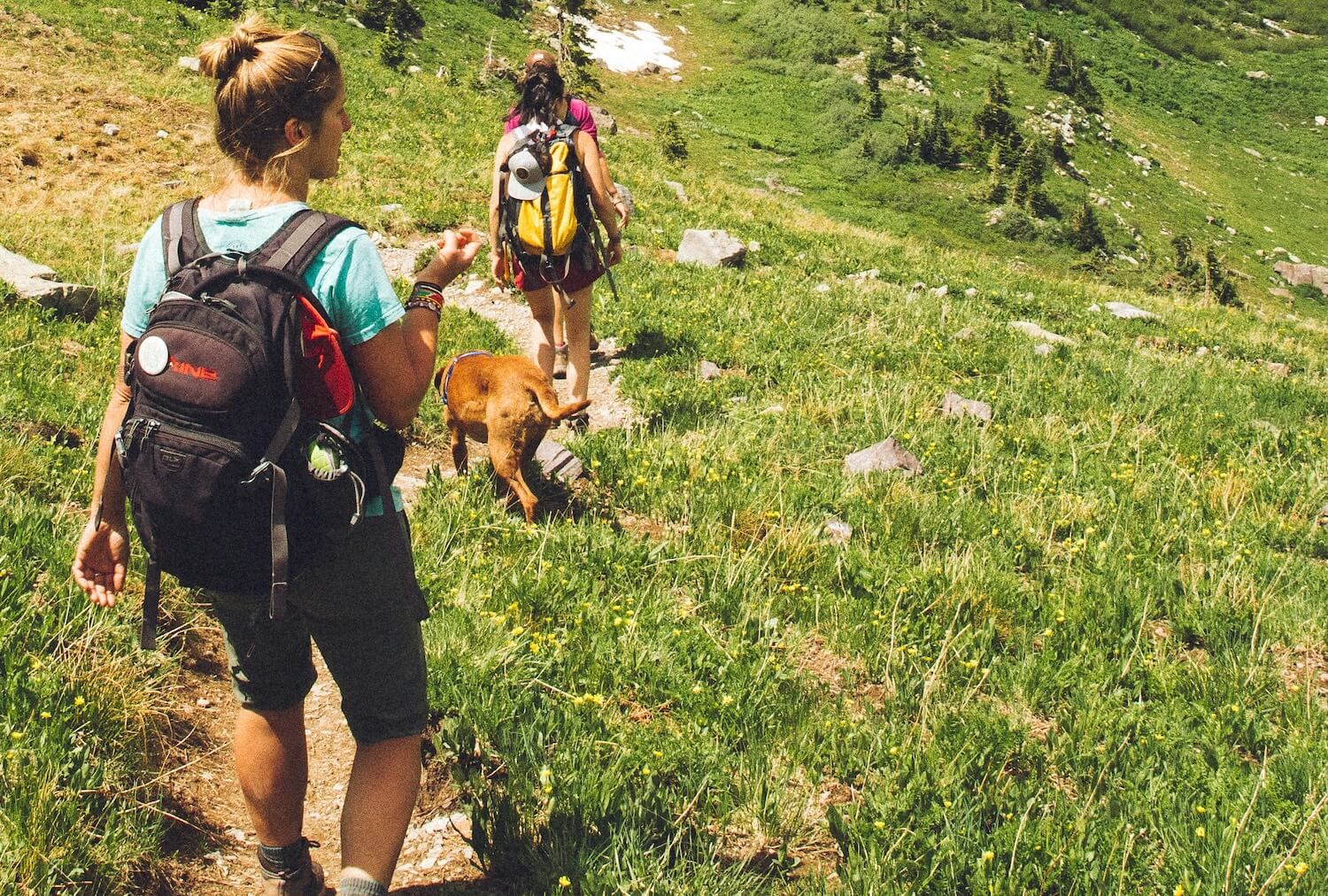
The South Lakes region in Cumbria provides numerous opportunities for outdoor exploration, with routes ranging from short, relaxed paths to more demanding ascents.
These trails often feature lakeside scenery, woodlands, and open fells.
Below, selected walks are grouped by starting location.
Related: The South Lake District
Walks from Windermere
Orrest Head Circular Walk
This ascent begins in the bustling town of Windermere and leads through mixed woodlands to a prominent viewpoint.
The path winds upwards gradually, revealing expansive views over Lake Windermere, the Langdale Pikes, and distant mountains.
Along the way, walkers pass stone walls and open meadows, with opportunities to spot local wildlife, such as red squirrels and birds of prey.
The summit, at 238 metres, marks the place where Alfred Wainwright first experienced the Lakes, inspiring his famous guides.
Return via the same route or a slight variation for added interest.
Prepare for variable weather, as exposed sections can become windy.
- Distance: 4.5 km
- Elevation Gain: 160 m
- Estimated Time: 1-1.5 hours
- Difficulty: Moderate
- Type: Loop
- Starting Point: Windermere town centre, near the railway station
- Best Season: Spring or autumn for clearer skies and fewer crowds
- Tips: Wear sturdy footwear due to uneven paths; bring a map or GPS app for navigation; parking is available in town car parks
Windermere Lake and Queen Adelaide’s Hill Circular
Starting along the western shore of Lake Windermere, this trail combines flat lakeside walking with a gentle climb to Queen Adelaide’s Hill.
The initial section follows the water’s edge, offering views of boats and wooded islands, before ascending through fern-covered slopes to a viewpoint named after Queen Adelaide’s visit in 1840.
From here, panoramas extend across the lake to the fells beyond.
The descent loops back through quiet lanes and fields, making it suitable for families or those seeking a mix of terrains.
Keep an eye out for waterfowl and seasonal wildflowers.
- Distance: 5 km
- Elevation Gain: 149 m
- Estimated Time: 1.5-2 hours
- Difficulty: Easy to Moderate
- Type: Loop
- Starting Point: Near Bowness-on-Windermere pier
- Best Season: Summer for lakeside ambience, though avoid peak holiday times
- Tips: Check ferry schedules if combining with a boat trip; carry water and snacks; accessible by public transport
Related: South Lakes Exercise Classes
Walks from Newby Bridge
Newby Bridge and High Dam Circular
From the historic Newby Bridge, this circuit heads north through dense forests towards High Dam, a picturesque reservoir built in the 19th century to power local mills.
The path meanders along streams and boardwalks, crossing bridges and passing rocky outcrops.
At High Dam, the calm waters reflect the surrounding trees, creating a serene spot for a break.
The return leg offers varied scenery, including open pastures and ancient oak groves.
This walk highlights the area’s industrial heritage while providing tranquil natural settings.
- Distance: 8.5 km
- Elevation Gain: Not specified (moderate climbs)
- Estimated Time: 3-3.5 hours
- Difficulty: Moderate
- Type: Loop
- Starting Point: Newby Bridge car park
- Best Season: Autumn for colourful foliage around the dam
- Tips: Watch for slippery sections after rain; insect repellent is useful in summer; nearby cafes for post-walk refreshments
Newby Bridge, Finsthwaite and Lakeside Circular
This relaxed route follows the River Leven from Newby Bridge to the village of Finsthwaite, then to Lakeside on Windermere’s southern tip.
The path hugs the riverbank, passing meadows and small waterfalls, before entering woodland with occasional glimpses of the lake.
In Finsthwaite, visit the historic church or tower for added history.
The Lakeside section includes options to extend via the steam railway.
Ideal for birdwatching, with herons and kingfishers often visible.
- Distance: 5.3 km
- Elevation Gain: 192 m
- Estimated Time: 1.5-2 hours
- Difficulty: Easy
- Type: Loop
- Starting Point: Newby Bridge
- Best Season: Spring for blooming riverside plants
- Tips: Flat terrain suits all abilities; combine with a train ride from Lakeside; free parking at the start
Walks from Backbarrow
Bishop’s Allotment
A gentle exploration of rural Cumbria, this trail wanders through farmland and lightly wooded areas near Backbarrow.
Named after historical land divisions, it offers peaceful countryside views with minimal elevation changes.
Walkers encounter stone stiles, hedgerows teeming with berries in season, and perhaps grazing sheep.
The route provides a quiet escape, perfect for contemplation or photography of traditional Lakeland features.
- Distance: 6.1 km
- Elevation Gain: 193 m
- Estimated Time: 1.5-2 hours
- Difficulty: Easy
- Type: Not specified (likely loop or out-and-back)
- Starting Point: Backbarrow village
- Best Season: Any time, but summer for wildflowers
- Tips: Respect farmland gates; bring binoculars for wildlife; limited facilities, so plan accordingly
Backbarrow Stone Bridge – High Dam Lake Loop from Haverthwaite
Beginning in Haverthwaite, this loop crosses an ancient stone bridge over the River Leven and ascends towards High Dam.
The path includes forest tracks, a distinctive tree formation, and a boardwalk over peatland.
High Dam serves as a highlight with its reservoir views and picnic areas.
Historical elements, like old mill sites, add context to the landscape.
The circuit returns via riverside paths, blending nature and heritage.
- Distance: 13.7 km
- Elevation Gain: 312 m
- Estimated Time: 4 hours
- Difficulty: Moderate
- Type: Loop
- Starting Point: Haverthwaite
- Best Season: Late spring for vibrant greenery
- Tips: Allow time for exploration at High Dam; sturdy boots for wet sections; nearby railway museum for interest
Backbarrow to Cark
This linear trail connects Backbarrow to Cark, traversing open countryside and minor roads.
Flat and straightforward, it passes fields, small hamlets, and views towards Morecambe Bay.
Suitable for a one-way hike with transport arranged at the end, or as part of a longer journey.
The route showcases agricultural Cumbria, with opportunities to observe local farming practices.
- Distance: 8.3 km
- Elevation Gain: 96 m
- Estimated Time: 2 hours
- Difficulty: Easy
- Type: One way
- Starting Point: Backbarrow
- Best Season: Clear days for bay vistas
- Tips: Arrange return transport; light traffic on roads; pack essentials as facilities are sparse
Walks from Ulverston
Roudsea Wood and Mosses National Nature Reserve
Within a protected reserve, this trail explores ancient woodlands, raised bogs, and riverbanks.
Paths wind through diverse habitats, home to rare plants like sundews and butterflies.
The route follows the River Leven at times, offering watery reflections and birdlife.
As a national nature reserve, it emphasises conservation, with informative signs along the way.
Expect a mix of boardwalks and natural tracks.
- Distance: 9.3 km
- Elevation Gain: Not specified (gentle undulations)
- Estimated Time: 3.5-4 hours
- Difficulty: Easy to Moderate
- Type: Not specified (various loops available)
- Starting Point: Near Ulverston
- Best Season: Summer for insect and plant diversity
- Tips: Stay on paths to protect habitats; bring field guides; free entry, but donations welcome
Ulverston to Coniston via Cumbria Way
A section of the long-distance Cumbria Way, this challenging path stretches from Ulverston to Coniston, crossing farmland, moorland, and hills.
It climbs gradually, passing Beacon Tarn and offering views over Coniston Water.
The terrain varies from grassy tracks to rocky sections, with historical sites like old quarries.
This route suits experienced walkers seeking a full-day adventure.
- Distance: 24.8 km
- Elevation Gain: 534 m
- Estimated Time: 5 hours
- Difficulty: Hard
- Type: One way
- Starting Point: Ulverston
- Best Season: Early summer for longer daylight
- Tips: Public transport between ends; carry sufficient food and water; check weather forecasts
Flan Hill and Hoad Monument Circular
From Ulverston, this compact loop ascends Flan Hill to the iconic Hoad Monument, a lighthouse-like structure commemorating Sir John Barrow.
The path includes steeper rocky climbs, rewarded with sweeping views over the town, Morecambe Bay, and distant fells.
The descent circles back through parks and lanes, making it accessible yet invigorating.
- Distance: 5 km
- Elevation Gain: 161 m
- Estimated Time: 1.5-2 hours
- Difficulty: Easy
- Type: Loop
- Starting Point: Ulverston town
- Best Season: Clear weather for optimal views
- Tips: Monument interior occasionally open; family-friendly with caution on slopes; central parking
Walks from Coniston
Coniston Round
This high-level circuit encircles Coniston village, traversing fells like Wetherlam and Swirl How.
Ridge walking dominates, with steep ascents and descents over rocky ground.
Panoramas include Coniston Water, Scafell Pike, and the surrounding valleys.
Old mining remnants add historical intrigue.
Reserved for fit walkers with navigation skills.
- Distance: 15.2 km
- Elevation Gain: 935 m
- Estimated Time: Not specified (allow 6-8 hours)
- Difficulty: Hard
- Type: Loop
- Starting Point: Coniston village
- Best Season: Summer for dry paths
- Tips: Compass and map essential; start early; emergency shelters on route
Hodge Close Quarry and Cathedral Cavern
A short but fascinating outing to disused slate quarries near Coniston.
The path leads through farmland to Hodge Close, with its deep water-filled pit, then to Cathedral Cavern, an impressive underground chamber accessed via a tunnel.
Historical mining features abound, creating an adventurous atmosphere.
Return the same way or via nearby tracks.
- Distance: 2.3 km
- Elevation Gain: 100 m
- Estimated Time: 30-45 minutes
- Difficulty: Easy
- Type: Out and back
- Starting Point: Near Yew Tree Farm
- Best Season: Any, but dry for cavern entry
- Tips: Torch for cavern; stay back from edges; parking is limited
Old Man of Coniston and Brim Fell Circular
Ascending the iconic Old Man of Coniston (803 metres), this loop includes Brim Fell and passes tarns like Low Water.
Paths follow old mine tracks, with rocky ridges and steep sections.
Views encompass Coniston Water, Dow Crag, and beyond.
The route highlights the area’s copper mining past, with ruins to explore.
- Distance: 14 km
- Elevation Gain: 653 m
- Estimated Time: 4.5-6 hours
- Difficulty: Hard
- Type: Loop
- Starting Point: Coniston village
- Best Season: Autumn for russet tones
- Tips: Layer clothing for summit winds; hydration is important; popular route, so an early start is advised

Where to Stay On Your Trip to The Lake District
After a day on the trails, the White Water Hotel offers comfortable accommodation in the South Lakes.
Situated near Newby Bridge, it offers rooms with views over the River Leven, along with a spa, restaurant, and leisure club.
Ideal for walkers, its location provides easy access to many of the routes described here.
Safety When Walking in The South Lakes
Walking in the South Lakes offers remarkable experiences amid varied terrain, yet prioritising safety ensures enjoyable outings.
The region’s weather can change rapidly, and paths range from gentle tracks to rugged fells, so preparation proves crucial.
Below, key advice covers planning, equipment, navigation, and on-trail practices, drawn from established guidelines.
Planning and Preparation
Inform a reliable contact about intended routes, start times, and expected return.
Assess personal fitness levels and choose trails matching abilities, remembering to turn back if conditions worsen or fatigue sets in.
Check forecasts from reliable sources like the Met Office, avoiding steep or exposed areas during storms, high winds, or heavy rain, which can render rivers impassable.
For winter walks, learn about avalanche risks and navigation in poor visibility.
Essential Equipment
Wear appropriate footwear, such as walking boots, for grip on uneven ground, paired with breathable socks to maintain comfort.
Layer clothing to adapt to fluctuating temperatures, including waterproof jackets and trousers.
Carry navigation tools like maps, compasses, or GPS devices, ensuring familiarity with usage.
Pack sufficient food, water, and a first-aid kit, plus a charged mobile phone with emergency contacts, though signal may vary in remote areas.
Hydration remains vital; use refillable bottles and consume energy snacks to sustain stamina.
On the Trail
Stay aware of surroundings, monitoring weather shifts and adjusting plans accordingly.
On roads, face oncoming traffic—walk on the right-hand side—and wear bright clothing for visibility.
Follow marked paths to minimise erosion and risks, respecting gates and livestock.
In groups, maintain communication, and solo walkers should consider joining guided tours for added security. If issues arise, dial 999 and request mountain rescue.
Adhering to these measures, aligned with the AdventureSmart campaign, promotes safe enjoyment of the South Lakes’ trails.
Final Notes On Walks in South Lakes
The South Lakes present a rich tapestry of walking experiences, from serene waterside ambles to rigorous fell traverses.
Each trail reveals unique aspects of Cumbria’s landscape, history, and ecology, rewarding preparation with memorable outings.
Always respect the environment by following the Countryside Code, checking conditions in advance, and packing out waste.
With proper gear and awareness of personal limits, these paths become gateways to lasting appreciation of this remarkable area.
Whether a novice or seasoned hiker, the variety ensures repeated visits yield fresh insights.