

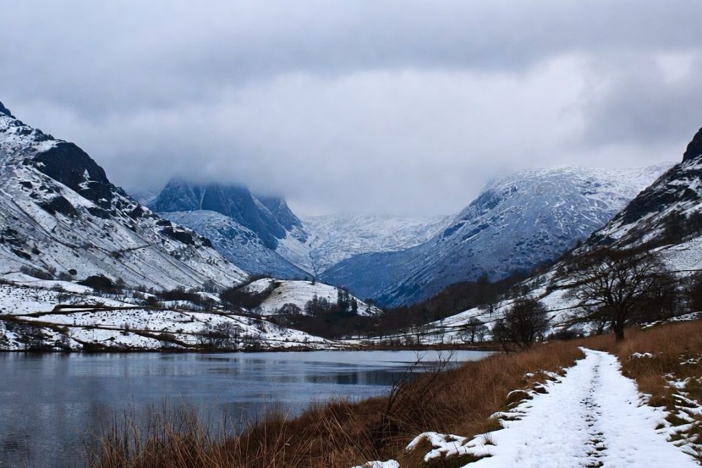
Winter transforms the Lake District. Shorter days bring quieter paths, sharper light and a chance to enjoy the fells and waters without summer crowds.
These ten easy and moderate walking routes all suit the season well.
They stick to lower ground, safer paths and don’t need maximum effort, so you can finish before dark while still enjoying real views and a sense of achievement.
Each walk below includes useful details on distance, time, difficulty and winter conditions.
Choose your routes based on your fitness, the forecast, and how much daylight you have.
Related: Best Lake District Autumn Walks
Gummer’s How Circular
This short climb leads straight to the summit of Gummer’s How for wide views over Windermere and the southern fells.
The route feels like a proper hill walk yet stays quick and achievable, even on winter days when you want to be back early.
The trig point at the top gives a clear reward before you complete the small loop.
- Distance: 2.4 km (1.5 miles)
- Estimated time: 0.5 to 1 hour
- Difficulty: Moderate
- Elevation gain: 124 metres (406 feet)
- Route type: Circular loop
- Starting point: Gummer’s How picnic area or Fell Foot Brow
- Parking: Picnic area parking or nearby lay-bys
- Terrain and paths: Clear path with steady climb; can turn rough or muddy near the top
- Winter notes: Finish easily before dark. The summit can feel windy and icy after frost. Take care on any rocky sections. Good boots help.
Related: What is Fell Walking in the Lake District
Humphrey Head
This short coastal walk follows the peninsula at Humphrey Head for estuary views and quiet paths. ]
Its low height and quick pace make it ideal when you want open air and a change from inland hills, especially on calmer winter days with good visibility.
- Distance: 4.3 km (2.7 miles)
- Estimated time: 0.5 to 1 hour
- Difficulty: Easy
- Elevation gain: 42 metres (137 feet)
- Route type: Out-and-back or loop options
- Starting point: Near Grange-over-Sands or Kents Bank
- Parking: Limited parking near the start; roadside options available
- Terrain and paths: Coastal paths and tracks; mostly flat with gentle rises
- Winter notes: Exposed to wind from the water. Pick calm days. Paths stay mostly firm but can be wet. A solid backup when inland routes look unappealing.
Related: Lake District in January
Flan Hill and Hoad Monument Circular
This compact loop from Ulverston rises to the Hoad Monument, a striking tower with wide views, before returning through parks and lanes.
The short distance and clear landmark suit winter walks when you want a defined goal and quick access without a full day out.
- Distance: 5 km (3.1 miles)
- Estimated time: 1.5 to 2 hours
- Difficulty: Easy
- Elevation gain: 161 metres (528 feet)
- Route type: Circular loop
- Starting point: Ulverston town
- Parking: Central Ulverston car parks
- Terrain and paths: Mix of paths, lanes and steady ascent; some steeper sections
- Winter notes: Works well for limited daylight. The monument marks a clear high point. Paths can be slippery on the hill; watch your footing on the way down.
Related: October in the Lake District
Bishop’s Allotment
This gentle route wanders through farmland and light woodland near Backbarrow.
It offers peaceful countryside views with only modest height gain, making it one of the easiest choices for winter when you prefer relaxed walking and fresh air close to the South Lakes.
- Distance: 6.1 km (3.8 miles)
- Estimated time: 1.5 to 2 hours
- Difficulty: Easy
- Elevation gain: 193 metres (633 feet)
- Route type: Loop or out-and-back options
- Starting point: Backbarrow village area
- Parking: Limited roadside or village parking; check local signs
- Terrain and paths: Field paths and tracks through open land and trees; generally good but can be muddy after rain
- Winter notes: Low-level ground reduces weather exposure. Ideal when higher routes feel like too much. Wear layers and expect soft ground in places.
Related: The Best Walks From Broughton-in-Furness
River Kent and Craggy Wood Circular
This route follows riverside paths along the River Kent before entering Craggy Wood.
The moderate distance and mix of water and trees create a satisfying half-day walk that feels sheltered and varied on winter days.
- Distance: 4.8 km (3 miles)
- Estimated time: 1.5 to 2 hours
- Difficulty: Moderate
- Elevation gain: 165 metres (541 feet)
- Route type: Circular loop
- Starting point: Near Staveley or Over Staveley area
- Parking: Available near the start or in nearby villages
- Terrain and paths: Riverside tracks and woodland paths; some gentle climbs
- Winter notes: Trees provide shelter from wind and rain. Riverside sections can stay muddy or flood after storms. Check water levels and wear strong footwear.
Related: What is a Ghyll?
Tarn Hows Circular
This popular loop circles Tarn Hows and includes a short climb to a viewpoint and Tarn Ghyll Waterfalls.
The steady pace and mix of water, trees and open ground make it a reliable winter choice when you want scenery without pushing too hard.
- Distance: 7.4 km (4.6 miles)
- Estimated time: 2.5 to 3 hours
- Difficulty: Moderate
- Elevation gain: 357 metres (1,171 feet)
- Route type: Circular loop
- Starting point: Tarn Hows area
- Parking: National Trust car park at Tarn Hows (usually pay and display)
- Terrain and paths: Gravel and firm paths with some inclines; can become muddy after wet weather
- Winter notes: Lower ground means less snow risk than high fells. Watch for ice on shaded parts. Waterproof boots and walking poles help on slippery sections. Start early to use the daylight.
Related: Tarns in the Lake District
Far Sawrey and Claife Heights Circular
This loop starts in Far Sawrey, climbs into the hills and Claife Heights, then returns through farmland past small tarns.
The varied terrain and moderate effort deliver good views and a sense of progress on winter days.
- Distance: 7.4 km (4.6 miles)
- Estimated time: 2 to 2.5 hours
- Difficulty: Moderate
- Elevation gain: 241 metres (790 feet)
- Route type: Circular loop
- Starting point: Far Sawrey car park
- Parking: Car park at Far Sawrey
- Terrain and paths: Farmland tracks, hillside paths and woodland; a mix of surfaces
- Winter notes: Hillside parts can be windy. Paths often turn muddy after rain. You may share tracks with Herdwick sheep. Strong boots and waterproof clothing are worthwhile.
Newby Bridge and High Dam Circular
This loop leaves Newby Bridge, passes through woodland and reaches the reservoir at High Dam before returning.
The steady climbs and forest setting give a balanced day that works well in winter when you want clear targets and some shelter.
- Distance: 8.5 km (5.3 miles)
- Estimated time: 3 to 3.5 hours
- Difficulty: Moderate
- Elevation gain: 362 metres (1,187 feet)
- Route type: Circular loop
- Starting point: Newby Bridge
- Parking: Car park near Newby Bridge
- Terrain and paths: Forest tracks and paths with moderate climbs; can be wet and muddy
- Winter notes: Woodland cover helps in wind or rain. Paths hold water after storms. Sturdy boots are essential. Allow extra time and check conditions before you go.
Duddon Valley
This valley route follows tracks and paths through the southern Lake District along the Duddon.
Moderate climbs and open views suit winter when you prefer valley floors that feel more sheltered than exposed ridges.
- Distance: 10.3 km (6.4 miles)
- Estimated time: 3 to 3.5 hours
- Difficulty: Moderate
- Elevation gain: 328 metres (1,076 feet)
- Route type: Linear or loop variations
- Starting point: Southern Duddon Valley (options near Ulpha or Seathwaite)
- Parking: Designated lay-bys and car parks in the valley
- Terrain and paths: Valley tracks and paths with some undulations; can be muddy
- Winter notes: The valley setting offers some protection from strong winds. Paths often stay wet. Good boots and gaiters help. Plan for shorter daylight and allow extra time.
Coniston Circular
This moderate circuit near Coniston takes in lake views and lower fells around the area.
It offers more distance than the shortest walks while staying within easy-to-moderate limits, making it a good choice for winter when you want a proper day out with a clear return.
- Distance: 8 km (5 miles)
- Estimated time: 2.5 to 3 hours
- Difficulty: Moderate
- Elevation gain: 280 metres (918 feet)
- Route type: Circular loop
- Starting point: Coniston village or nearby car parks
- Parking: Coniston car parks (pay and display options)
- Terrain and paths: Mix of paths and tracks with steady sections; can be rocky or muddy
- Winter notes: The lower fells around Coniston carry fewer extreme winter risks than higher peaks. Paths can hold water. Strong footwear helps. Watch the weather and start early.
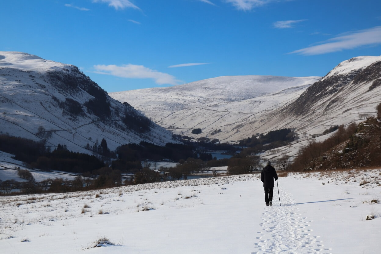
Tips for Winter Walking in the Lake District
- Check the forecast and Met Office mountain weather service each morning. Note sunrise and sunset times and aim to finish at least an hour before dark.
- Dress in layers you can adjust. A moisture-wicking base layer, a warm mid-layer, and a waterproof, breathable shell work well. Add a warm hat and gloves that still let you use your phone or map.
- Choose sturdy waterproof boots with aggressive tread. Gaiters keep mud and water out of your boots on wet paths. Microspikes or similar can help on icy sections.
- Carry a paper map and compass as backup. Download offline maps to your phone and carry a power bank. Phone batteries drain faster in cold weather.
- Tell someone your exact route and expected return time. Walk with others when possible, especially on less busy winter days.
- Pack extra food, water and a basic first-aid kit. A head torch with spare batteries is essential if daylight runs short.
- Respect the land. Stick to paths, close gates and take all litter home. Winter ground can be soft; avoid damaging wet fields or verges.
- Know your limits. Turn back if conditions worsen or you feel tired. The Lake District in winter can change quickly.

Where to Stay On Your Trip to The Lake District
After a day on the fells, a comfortable base helps you relax and prepare for the next walk.
The Whitewater Hotel stands in a convenient south Lakes location close to several routes in this guide, including the Newby Bridge and High Dam loop and easy access to the Duddon Valley and other southern options.
You can enjoy well-appointed rooms, good food and a welcoming atmosphere after time outdoors in the winter weather.
Book your stay at the Whitewater Hotel

Final Notes On The Best Winter Lake District Walks
These ten routes show that the Lake District in winter offers plenty of rewarding walking without needing to tackle the highest or most technical ground.
From short climbs with big views to steady loops through woodland and valley, each one gives you a clear plan, manageable effort and a genuine sense of place.
The key to enjoying them lies in preparation.
Check the weather, respect shorter days and choose footwear and clothing that handle mud, wind and possible ice.
Walk at your own pace, turn back if needed and always leave the paths as you found them.
Many of these walks sit within easy reach of each other, so you can combine a gentle morning route with a moderate afternoon option on the same day when conditions allow. The quieter trails and crisp air often make winter visits more memorable than busier seasons.
Plan ahead, stay safe and take time to notice the details that change with the light and weather.
The Lake District rewards those who come prepared. Enjoy your winter walks and return whenever the paths call you back.
